7 Days GolfingTour
 8 Days Group Tour
 8 Days Yunnan Tour
 7 Days Shangri La Hiking
 11 Days Yunnan Tour
 6 Days Yuanyang Terraces
 11 Days Yunnan Tour
 8 Days South Yunnan
 7 Days Tea Tour
 8 Days Muslim Tour
 12 Days Self-Driving
 4 Days Haba Climbing
 Tiger Leaping Gorge
 Stone Forest
 Yunnan-Tibet
 Hani Rice Terraces
 Kunming
 Lijiang
 Shangri-la
 Dali
Dali
 XishuangBanna
 Honghe
 Kunming
 Lijiang
 Shangri-la
 Yuanyang Rice Terraces
 Nujiang
 XishuangBanna
 Spring City Golf
 Snow Mountain Golf
 Stone Mountain Golf
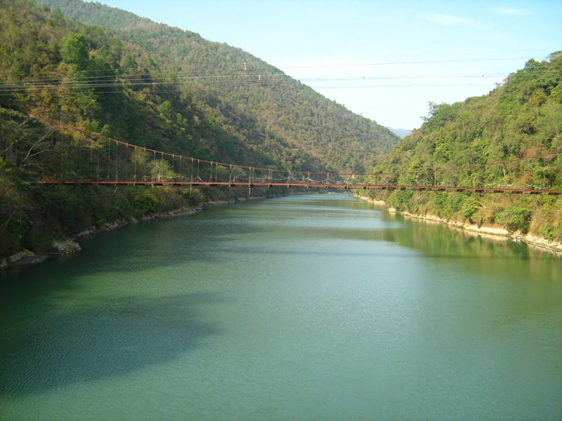
Irrawaddy River System
Irrawaddy River, Burmese Ayeyarwady, principal river of Myanmar(formerly Burma), running through the centre of the country. Myanmar’s most important commercial waterway, it is about 1,350 miles long. Its name is believed to derive from the Sanskrit term airāvatī, meaning “elephant river.” The river flows wholly within the territory of Myanmar. Its total drainage area is about 158,700 square miles (411,000 square km). Its valley forms the historical, cultural, and economic heartland of Myanmar.
Source of Irrawaddy River
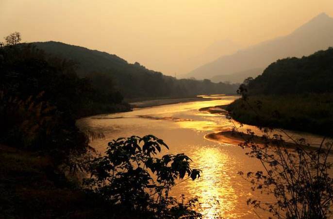
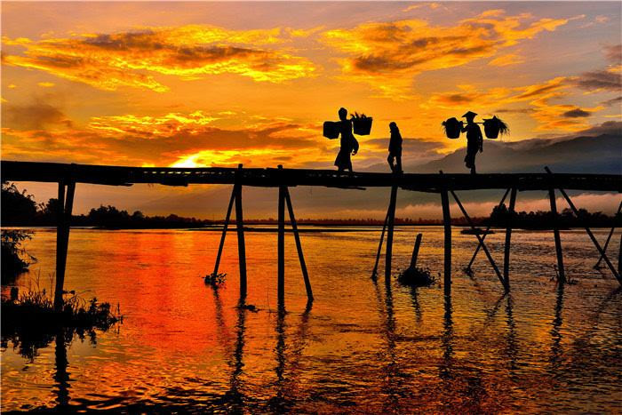
The Irrawaddy River, which flows north and south through Myanmar, is one of the great rivers of the Indochina Peninsula in Asia and the largest river in Myanmar. It was called “Great Jinsha River” and “Lishui” in ancient China, and was one of the trade and transportation hubs of Yunnan and Burma. There are two sources of the river, east and west. The east source is called the Enmeikai River(恩梅开江Nmai Hka), originated from the southern foot of the Boshula Mountain(伯舒拉山) in Zayu County(察隅县) in China (called the Dulong River in Yunnan, China), and the west source is Mailikai River(迈立开山) originated from the northern mountain of Myanmar. The Dulong River flows southeast through the western part of Yunnan Gongshan Dulong and Nu Autonomous County, and is called the Nmai Hka after entering Myanmar, and then called Irrawaddy River after Dulong river and Mailikai River converge. Irrawaddy River passes through Myanmar from north to south, finally flows into Indian Ocean Bay of Bengal near Yangon. Although it is not the longest river in Myanmar, the Irrawaddy River is the most important river in Myanmar because of its shipping and irrigation value.
Main Tributaries
| Branches on the Left Bank | Daying River(大盈江), Ruili River(瑞丽江), Nandu River(南渡河), Rong River荣河 |
| Branches on the Right Bank | Chindwin River(亲敦江), Mu River(穆河), Meng River(蒙河) |
| Other branches | Madaya River(马达雅河), Banlang River(班朗河), Changmaji River(昌马基河), Yixin River(伊辛河) |
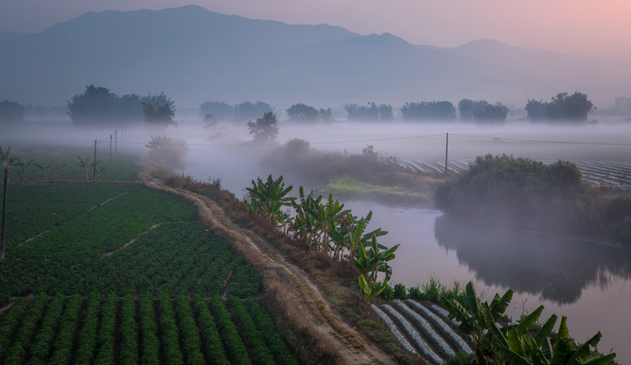
Climate
The Irrawaddy River system belongs to the subtropical and tropical monsoon climate zones, and is divided into three seasons: heated season(March to May), rainy season(June to October), cool season(November to February). The lowest temperature is in January with an average temperature of 20-25 ℃, the hottest month is in April, with an average temperature of 25-30 ℃. The rainfall in the river system is abundant, in the delta and the north is 2000-3000 mm, and in the plain of middle reaches is the less, 500-1000 mm. July is the wettest month, and dry season is from December and the following March.
At Yangon, in the lower basin, temperatures range from a January mean of 25 °C to an April mean of 30 °C; temperatures fall slightly during the summer rainy season. At Myitkyinā, in the upper basin, January temperatures average 18 °C, and monthly average temperatures peak at 28 °C in June. Temperatures decrease with altitude up the basin to the glaciated regions where mean annual temperatures are below 20 °C. Precipitation varies across the basin from 1,500 to 2,500 mm per year and falls mainly from May to October.
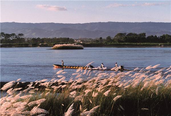
Shipping
The main ports of the Irrawaddy River from the north to the south are Myitkyina, Bhamo, Katha, Mandalay, Myingyan, Chauk, Yenangyaung, Minbu, Magwe, Thayetmyo, Prome, Henzada and Yandoon. Among them, Mandalay, Chauk and Henzada are in good wharf equipment.