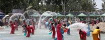
 7 Days GolfingTour
 8 Days Group Tour
 8 Days Yunnan Tour
 7 Days Shangri La Hiking
 11 Days Yunnan Tour
 6 Days Yuanyang Terraces
 11 Days Yunnan Tour
 8 Days South Yunnan
 7 Days Tea Tour
 8 Days Muslim Tour
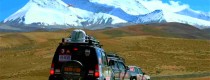
 12 Days Self-Driving
 4 Days Haba Climbing
 Tiger Leaping Gorge
 Stone Forest
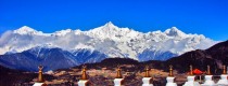
 Yunnan-Tibet
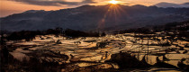
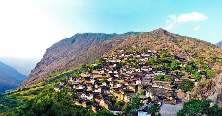
 Hani Rice Terraces
 Kunming
 Lijiang
 Shangri-la
 Dali
Dali
 XishuangBanna
 Honghe
 Kunming
 Lijiang
 Shangri-la
 Yuanyang Rice Terraces
 Nujiang
 XishuangBanna
 Spring City Golf
 Snow Mountain Golf
 Stone Mountain Golf
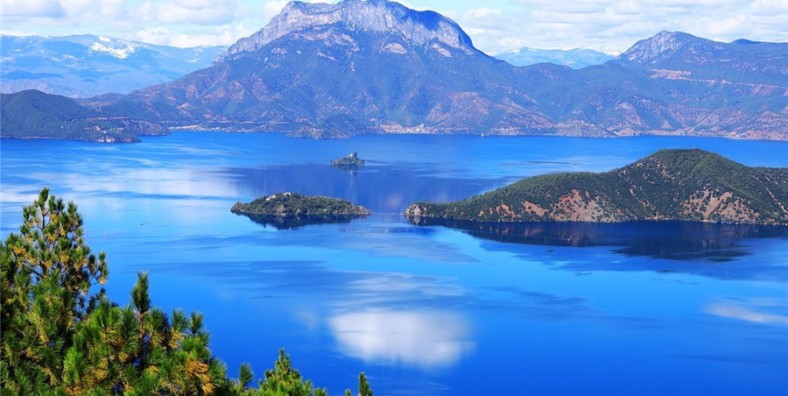
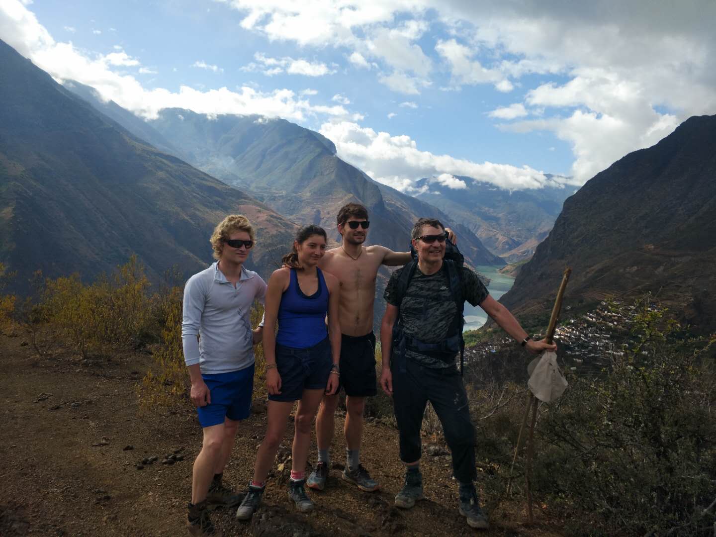
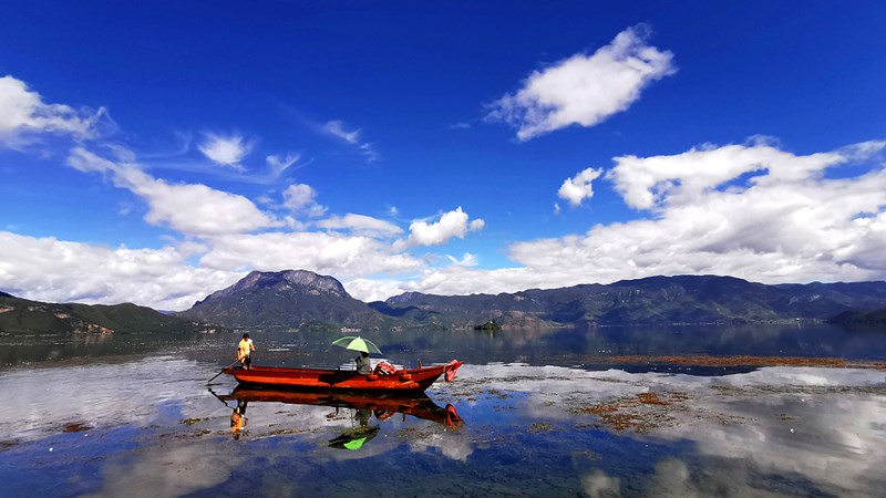
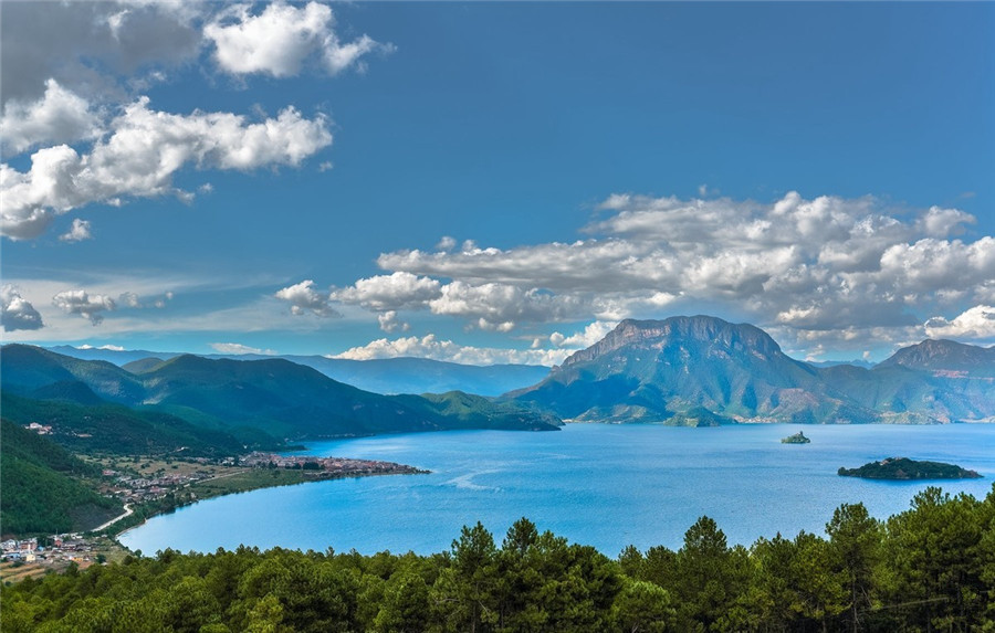
This trip was a bicycle one, my favorite kind. The origin, Lijiang (丽江), and destination, Lugu Lake (泸沽湖), were both places I’ve been before. The route I’d take between them, however, was through uncharted territory.
The first several days of this trip would be spent on the mountain range which forces the Yangtze River, or Jinsha River (金沙江) as it’s known locally, north before it makes a great bend southward and continues on its course to the Pacific Ocean.
Introduction
Embark on an unforgettable 10-day journey that traces the historic trail of Kublai Khan, the renowned Mongolian emperor, as you cycle from the vibrant city of Lijiang to the tranquil shores of Lugu Lake. This epic biking adventure combines breathtaking landscapes, rich cultural experiences, and challenging terrains. Immerse yourself in the natural beauty of Yunnan Province, where majestic mountains, lush forests, and vibrant local traditions await you. Get ready to explore ancient villages, taste delicious local cuisine, and make lifelong memories on this extraordinary cycling expedition.
Highlights:
- Cycling Through Historic Trails: Ride along paths that were once traversed by Kublai Khan, gaining a sense of the rich history that permeates the landscape.
- Breathtaking Scenery: Experience the stunning vistas of the Yulong Snow Mountain and the enchanting hills surrounding Lugu Lake, showcasing nature in its purest form.
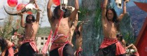
- Cultural Immersion: Visit traditional Naxi and Mosuo villages, where you can engage with locals, learn about their unique customs, and witness their way of life.
- Diverse Terrain: Challenge yourself with diverse biking routes, from rolling hills to rugged mountain paths, designed to accommodate both novice and experienced cyclists.
- Local Cuisine Tasting: Savor the flavors of Yunnan, sampling delicious local dishes made from fresh, regional ingredients throughout your journey.
- Restful Retreats: Enjoy cozy accommodations, including guesthouses and lakeside lodges, where you can relax after a day of adventure and soak in the tranquility of your surroundings.
- Stargazing at Lugu Lake: Cap off your journey with breathtaking views of the night sky over Lugu Lake, providing a magical end to an extraordinary biking experience.
Brief Itinerary
- Day 1: Arrive in Lijiang
- Day 2:Lijiang-Qiaotou Town (81KM)
- Day 3: Qiaotou Town-Middle Tiger Leaping Gorge-Daju(40KM)
- Day 4: Daju-Mingyin-Baoshan Stone Village (60KM)
- Day 5: Baoshan Stone Village-Jinsha River Cruise-Labo-Zhuangzi(Labo-Zhuangzi 33KM)
- Day 6: Zhuangzi-Yongning-Lugu Lake (60KM)
- Day 7: Lugu Lake round Cylcing Trip (51KM)
- Day 8 Lugu Lake-Ninglang County (66KM)
- Day 9 Ninglang County-Shudi Village (81KM)-Lijiang
- Day 10 Departure from Lijiang

Day 1: Arrive in Lijiang
Sightseeing and Activities: Arive Lijiang
Accommodation: Lijiang
Meal: None
- Arrive in Lijiang
- After check-in at the hotel, you will be free to explore the old towns in Lijiang, including Dayan Old Town, Shuhe Old Town, and Baisha Old Town.
.jpg)
.jpg)


Service Includes:
Service Excludes: