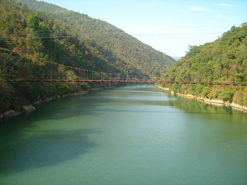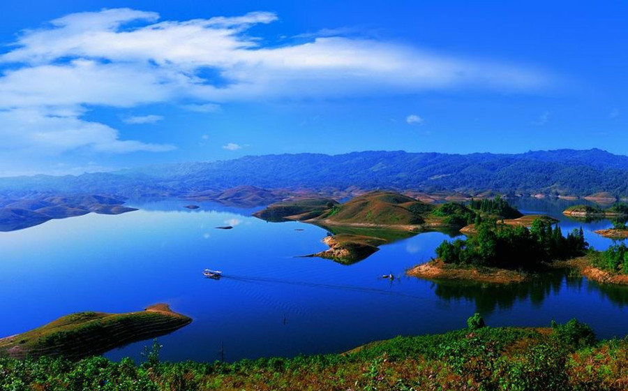
Dehong Geography
Geographic Environment
Location and Boundaries
德宏傣族景颇族自治州 (Dehong Dai and Jingpo Autonomous Prefecture) is situated in the western part of Yunnan Province, China, between 97°31′ to 98°43′ east longitude and 23°50′ to 25°20′ north latitude. It is one of the eight autonomous prefectures of ethnic minorities in Yunnan Province. To the east and northeast, it borders Longling County and Tengchong City of Baoshan City. It shares its western, northern, and southern boundaries with Myanmar. Except for Lianghe County, all counties (cities) in the prefecture are border counties, with a total border length of 503.8 kilometers. The maximum east-west distance is 122 kilometers, and the maximum north-south distance is 170 kilometers. The prefecture covers an area of 11,526 square kilometers.

Topography and Landforms
Terrain and Landforms
Dehong Dai and Jingpo Autonomous Prefecture features a steep and rugged terrain in the northeast, gradually becoming wider and gentler towards the southwest. The average elevation ranges from 800 to 2,000 meters above sea level. The highest point is Mount Dainong in Yingjiang County, reaching 3,404.6 meters above sea level. The lowest point is the valley of the Jiayang River in Yingjiang County, at an elevation of 210 meters. There are 20 large river valley basins in the prefecture, with areas exceeding 100 square kilometers, including Yingjiang, Longchuan, Ruili, Mangshi, and Zhefang.
Climate Conditions
Climate
Dehong Dai and Jingpo Autonomous Prefecture falls under the South Asian tropical monsoon climate zone. The annual average temperature ranges from 18.6°C to 21.0°C. Annual rainfall ranges from 1,366.1 to 1,606.6 millimeters, and annual sunshine hours range from 2,119.1 to 2,318.7 hours. The prefecture experiences mild winters without severe cold and summers without extreme heat.

Hydrology
Water Resources
The prefecture is rich in water resources, known as the “Three Rivers and Four Rivers.” The “Three Rivers” refer to the Nujiang River, Dayingjiang River, and Ruili River, belonging to the Nujiang River and Irrawaddy River systems, respectively. The “Four Rivers” include the Mangshi River, Nanwan River, Husa River, and Luoboba River. Apart from the Nujiang River, which belongs to the Nujiang River system, other rivers belong to the Irrawaddy River system.
Natural Resources
Mineral Resources
Dehong Dai and Jingpo Autonomous Prefecture has confirmed 34 types of mineral resources. Key mineral resources include lead, zinc, geothermal energy, silica, gold, tin, rare earths, limestone, granite, gneiss, as well as pottery clay and kaolin. These resources are vital for the local economy due to their competitive position in both provincial and national markets.
Biological Resources
The prefecture boasts a diverse array of biological resources. It is home to 6,053 species from 1911 genera across 339 families of higher plants, including 5,369 native species and 684 cultivated species. Notably, it hosts 156 nationally protected plant species such as Amomum villosum, Myrica esculenta, Osmunda japonica, Dracaena cochinchinensis, and Pittosporum glabratum. Dehong also supports a rich diversity of vertebrate animals, including 238 nationally protected species like the rhinoceros hornbill, Pygathrix nemaeus, Nomascus leucogenys, Sus scrofa, Neofelis nebulosa, Nycticebus bengalensis, Polyplectron bicalcaratum, and Macaca spp.

 7 Days GolfingTour
 8 Days Group Tour
 8 Days Yunnan Tour
 7 Days Shangri La Hiking
 11 Days Yunnan Tour
 6 Days Yuanyang Terraces
 11 Days Yunnan Tour
 8 Days South Yunnan
 7 Days Tea Tour
 8 Days Muslim Tour
 12 Days Self-Driving
 4 Days Haba Climbing
 Tiger Leaping Gorge
 Stone Forest
 Yunnan-Tibet
 Hani Rice Terraces
 Kunming
 Lijiang
 Shangri-la
 Dali
Dali
 XishuangBanna
 Honghe
 Kunming
 Lijiang
 Shangri-la
 Yuanyang Rice Terraces
 Nujiang
 XishuangBanna
 Spring City Golf
 Snow Mountain Golf
 Stone Mountain Golf


