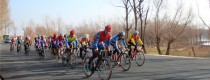
7 Days GolfingTour
 8 Days Group Tour
 8 Days Yunnan Tour
 7 Days Shangri La Hiking
 11 Days Yunnan Tour
 6 Days Yuanyang Terraces
 11 Days Yunnan Tour
 8 Days South Yunnan
 7 Days Tea Tour
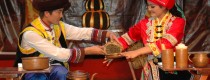
 8 Days Muslim Tour
 12 Days Self-Driving
 4 Days Haba Climbing
 Tiger Leaping Gorge
 Stone Forest
 Yunnan-Tibet
 Hani Rice Terraces
 Kunming
 Lijiang
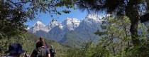
 Shangri-la
 Dali
Dali
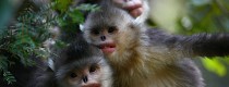
 XishuangBanna
 Honghe
 Kunming
 Lijiang
 Shangri-la
 Yuanyang Rice Terraces
 Nujiang
 XishuangBanna
 Spring City Golf
 Snow Mountain Golf
 Stone Mountain Golf
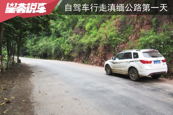
China Self-Driving Tour Along the Sino-Myanmar Road (The Burma Road) –Day 1: From Kunming to Chuxiong
The Burma Road (滇缅公路) is a highly recommended route for a road trip, as it not only carries historical significance but also offers breathtaking scenery, delicious local cuisine, and rich ethnic customs. From 2014 to 2017, I made several trips to Yunnan (云南), traveling along this road multiple times. I have now revisited my travel journals, compiling them into seven articles. The one you are currently reading is the second installment, detailing my journey from Kunming (昆明) to Chuxiong (楚雄).
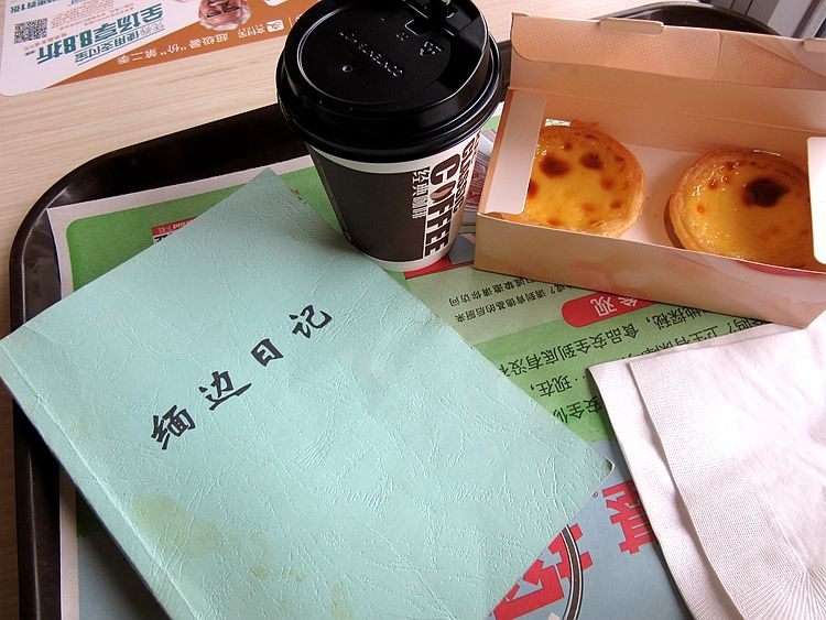
Before setting out, I set a clear goal for myself: to faithfully retrace the entire route of the Burma Road (滇缅公路) during the War of Resistance (抗日战争) era, following the footsteps documented in Professor Zeng Zhaoluan’s Diary of Myanmar Frontier (《缅边日记》). Throughout my journey, I referred to the book almost hourly to verify the route.
Although the Burma Road (滇缅公路) underwent optimizations during the mid-war period and has seen even greater transformations due to road construction in recent decades, I discovered that—apart from a few significantly altered sections—most of the original route remains remarkably intact, preserving its wartime path.
Key Terms:
- Burma Road (滇缅公路): The vital wartime supply route linking Kunming, China, with Lashio, Burma (Myanmar).
- War of Resistance (抗日战争): Refers to China’s struggle against Japanese invasion (1937–1945).
- Zeng Zhaoluan (曾昭抡): A renowned chemist and scholar whose Diary of Myanmar Frontier documented the road’s cultural and geographical landscape.
The vehicle I used for this trip was a Haima S7. Although Haima’s car sales have declined sharply in recent years, firsthand experience reveals its impressive performance and reasonable price, making it a highly cost-effective choice1.
What might sound unbelievable is that while waiting for my border-crossing permit at the China-Myanmar border (中缅边境), I impulsively drove north along the Nujiang River (怒江) and tackled the Bingzhongluo-Chawalong-Chayu route (丙察察线)—back in 2015, when the road was still unpaved and revered by off-road enthusiasts as the “last holy grail of OFF ROAD”. Driving a two-wheel-drive SUV unprepared felt almost like a blasphemy against this sacred trail.
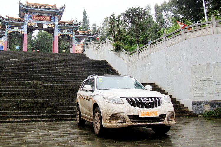
Note: I have traveled the Yunnan-Myanmar Road several times, always as a solo rider. The content of this article is mainly based on my first trip, which was in 2015, when I drove a Haima S7. However, some of the accompanying images are from my second or third trip, due to weather conditions—I tried to use photos taken on clear days.
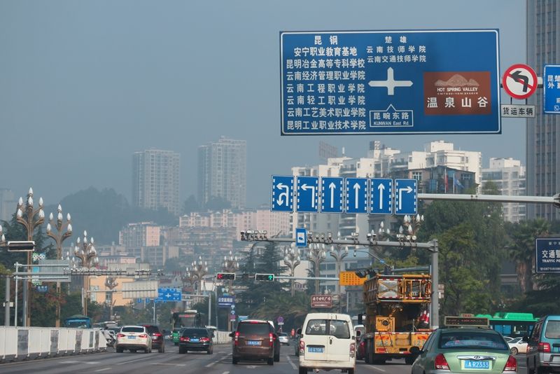
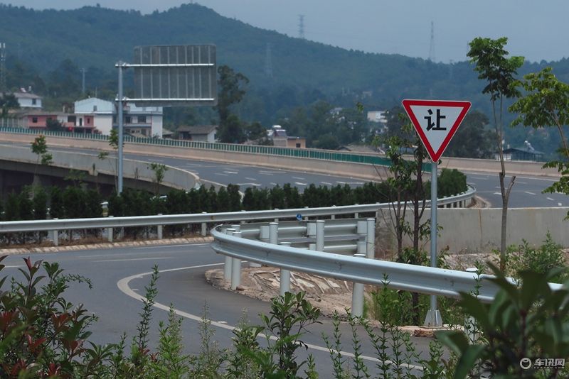
Section 1: Kunming to Anning
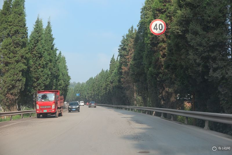
Driving along Renmin Middle Road, I reach the Gui Bei Interchange. This area was once called “Xiaoximen” (小西门), a major route out of Kunming to the west. In 1926, the road from Xiaoximen to Bi Ji Pass (碧鸡关) was completed, with a total length of 15 kilometers. At the same time, a truck was purchased from the United States and two cars were bought from France, marking the arrival of highways and automobiles in Kunming.
After passing the Gui Bei Interchange, drive another 400 meters to reach Panjiawan (潘家湾). In 1941, Professor Zeng’s journey began from Panjiawan, which had a large vehicle yard and training school. This is where the Nanyang laborers, who contributed and sacrificed during the War of Resistance (抗战), were trained.
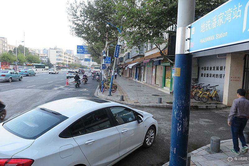
In Panjiawan (潘家湾), turn right onto Xichang Road (西昌路) and drive 800 meters to reach the Xizhan Interchange (西站立交桥). According to a memory from an old Kunming resident, the starting point of the Yunnan-Myanmar Road (滇缅公路) was once the Xizhan (西站). There used to be a bus station here, located right where the current interchange stands.
Now, after passing the interchange and driving 200 meters, on the right-hand side of the road, there is a hospital. In front of the hospital, along the roadside, a new “Zero Kilometer” monument of the Yunnan-Myanmar Road (滇缅公路) has been erected.
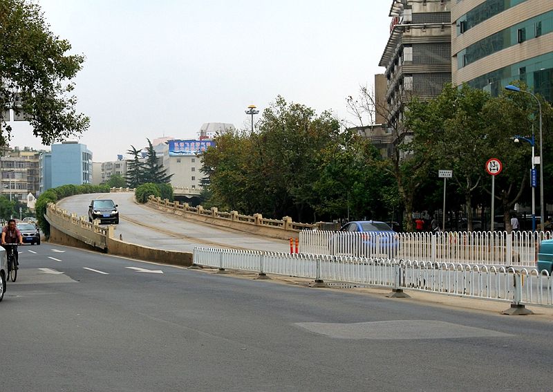
Starting from the Xizhan Interchange (西站立交桥) all the way to Mianshan (眠山), this section of the road is called the Yunnan-Myanmar Avenue (滇缅大道). Following this road to Mianshan, you’ll reach a T-junction. At the foot of the mountain next to the intersection, there is a set of relief sculptures depicting the construction of the Yunnan-Myanmar Road. After the junction, the road name changes to Chunyu Road (春雨路).
By the way, the most direct route from Panjiawan (潘家湾) to Mianshan (眠山) today is Renmin West Road (人民西路). The reason the Yunnan-Myanmar Road had to take a northern detour was because there used to be a lake to the west of Kunming city.
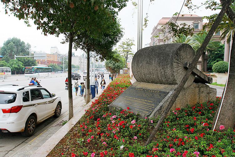
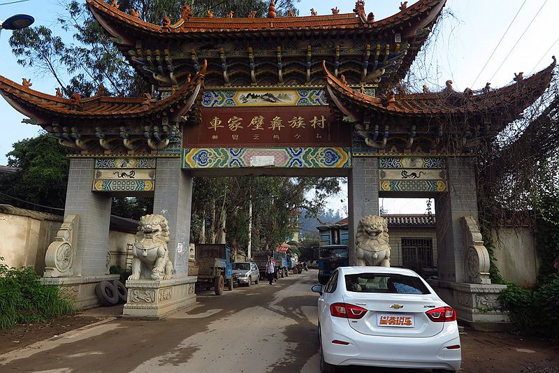
Drive along Chunyu Road (春雨路) for 7 kilometers, and you will arrive at Chejia Bi (车家壁)—a village of the Yi ethnic group. Nearby, there is an interchange, and a right turn will lead you to Bi Ji Road (碧鸡路), which is also part of National Highway 320 (320国道). The starting point of National Highway 320 is in Shanghai, and it ends in Ruili (瑞丽), Yunnan, with a total length of 3,695 kilometers. On this road, there is a section called the “24 Bends,” which was once mistakenly thought to be part of the Yunnan Stilwell Road (史迪威公路). It was later discovered by Mr. Ge Shuyai (戈叔亚) to be in Qianlong, Guizhou.
Drive straight through the interchange, and not far ahead, take a right turn at a small junction. Further ahead, you will reach the Xishan Scenic Area (西山风景区).
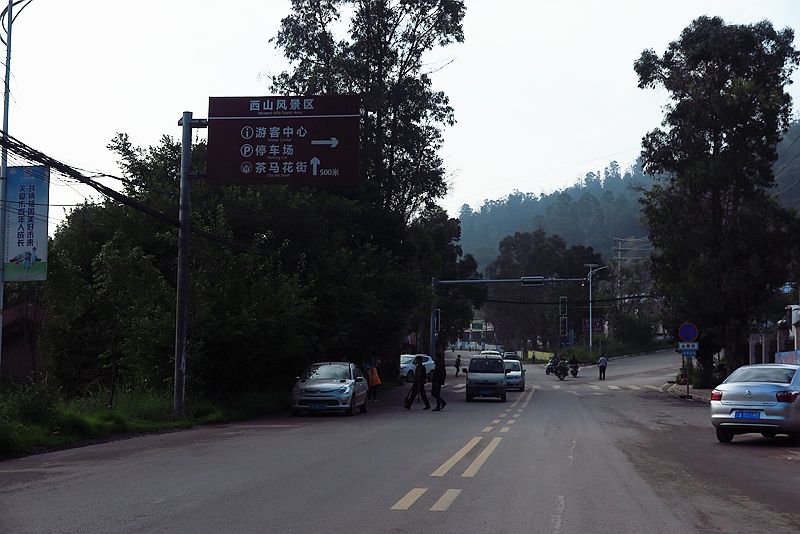
The subsequent slope is quite steep and narrow, with farmland stretching continuously on both sides. After driving for 2 kilometers, you will reach the Bi Ji Pass Archway (碧鸡关牌楼), which is 16.8 kilometers from Kunming. Beyond the archway is Bi Ji Pass Village (碧鸡关村).
After passing Bi Ji Pass Village (碧鸡关村), the road becomes the Xishan Tourist Road (西山旅游公路). This section has a pleasant environment and offers great views.
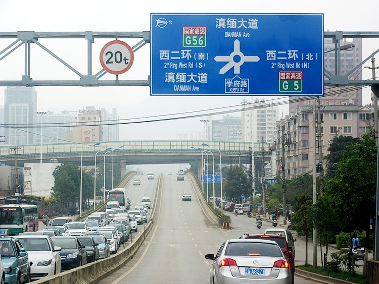
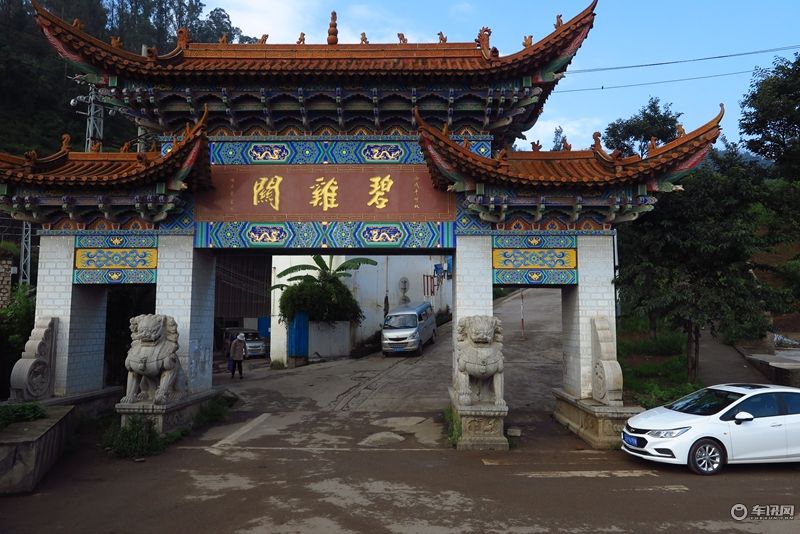
Not far along the Xishan Tourist Road (西山旅游公路), turn onto National Highway 320 (320国道). After driving for 15 kilometers, you will reach an intersection. Heading south leads to the city center of Anning (安宁市区), while heading north leads to Wenquan (温泉), famous for Anning Hot Springs (安宁温泉), which is known as the “Best Hot Spring in the World” (天下第一汤). This location is 32.1 kilometers from Kunming.
Section 2: Anning (安宁) to Lufeng (禄丰)
A few kilometers after Anning (安宁), the newly constructed road section disappears, and the road conditions ahead are probably similar to what Professor Zeng (曾教授) experienced back in the day. The difference is that, according to Professor Zeng’s records, the mountains in this area were once barren, with only occasional small trees, and some lower-lying areas were turned into fields. Now, the area is filled with dense forests and numerous farmlands.
On the following stretch of road, you will pass through three towns: Caopu (草铺), Lupu (禄脿), and Tuguan (土官). After Tuguan, the road begins to ascend, and the highest point is called Yanglaoshao (杨老哨), which is a village. Along this road, there are several villages with the word “Shao” (哨) in their names, which are likely former military posts. This is similar to the northern section of the Great Wall, where villages with the word “Fort” (堡) in their names were historically military garrisons. During the Ming Dynasty, many forts were built along the Great Wall, and it was said that there was “a guard post every five miles and a fort every ten miles.”
After Yanglaoshao (杨老哨), there is an 8-kilometer downhill stretch, followed by a “bazi” (坝子), which refers to flat land in the mountains. It is said that Yunnan (云南) has 1,100 “bazi,” which are categorized into three types: the first is the basin bazi (盆地坝), which is relatively open and rectangular, such as Kunming Bazi (昆明坝子); the second is the river valley bazi (河谷坝), which is usually a narrow strip; the third is the foothill bazi (山麓坝), located at the base of mountains in alluvial fans, like Dali Bazi (大理坝子).
Self-driving in Yunnan is very interesting—sometimes you find yourself winding through the mountains, with a feeling of being cut off from the sky. After a while, the mountains disappear, and the landscape opens up to reveal a vast plain.
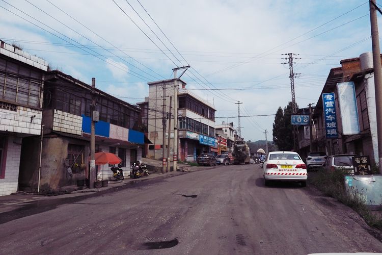
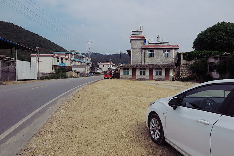
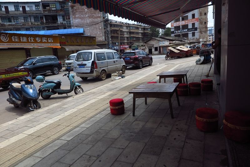
The Basin (坝子) ahead is where Lufeng (禄丰) is located. It was once a county but is now a city. The Yunnan-Myanmar Road (滇缅公路) passes along the southwestern edge of the city. During the War of Resistance (抗战时期), the Yunnan-Myanmar Road was still 2 kilometers away from the county seat, but it served as a rest stop along the road. Travelers would depart from Kunming (昆明) in the morning and have lunch in Lufeng. According to Professor Zeng’s (曾教授) book, the Lufeng rest stop was located in Donggu Village (董谷村). Along the road, I only saw Donghu Village (董户村), and I’m not sure if the village has changed its name or if there was an error in Professor Zeng’s record.
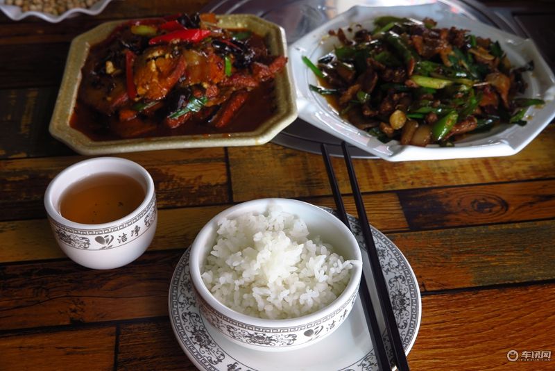
Professor Zeng wrote: “The local specialty here is scissors, which are of very good quality, priced at 35 cents per pair—half the price of Kunming.” Meals were served at the “Yuxing Inn” (裕兴客栈), with 8 people per table, 6 dishes and 1 soup, each person paying 25 cents. Today, Donghu Village (董户村) has a few car repair shops and small stores, but there are no inns. However, about 400 meters east of Donghu Village is the newly built Lufeng City (禄丰市区), where I went and had a plate of twice-cooked pork with rice for 10 yuan.
From Kunming, I have traveled 103.2 kilometers. When Professor Zeng arrived here, it was 103.1 kilometers.
Section 3: Lufeng (禄丰) to Chuxiong (楚雄)
Leaving Lufeng (禄丰), continue driving, and after a few minutes, the Lufeng bazi (禄丰坝子) comes to an end, and the road enters a valley. In Professor Zeng’s (曾教授) book, it is recorded that when entering the valley, there was a fortress by the river called the “Zhuge Liang Battery” (诸葛亮炮台). I ran down to the riverbank and stretched my neck to look for it for quite some time, nearly falling into the river, but I couldn’t find the fortress.
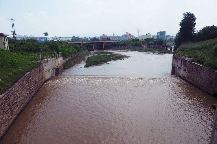
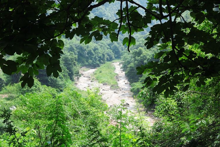
The next 21 kilometers are through a beautiful valley. The valley is narrow, winding, and densely vegetated, with some sections forming “tree tunnels.” On one side of the road is a steep mountain wall, and on the other side is a rushing river, resembling a scenic mountain valley. Professor Zeng (曾教授) also spoke highly of this valley, even comparing it to the Fuchun River (富春江) or Jiuxi Eighteen Ravines (九溪十八涧).
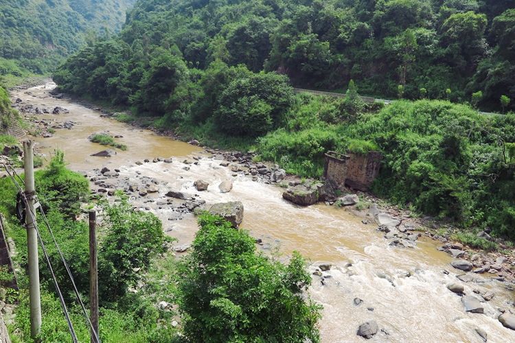
In the first half of the valley, the river flows along with the road. After passing through a tunnel, the river changes direction and flows against the road. Professor Zeng (曾教授) recorded that at the boundary between the two sections of the river, there was a particularly beautiful bridge, considered the highlight of the area. I didn’t see that beautiful bridge, but I did pass through four tunnels. The first one is the Mima Long Tunnel (密马龙隧道), followed by the Bifeng Qing Tunnel (蜜蜂箐隧道). After passing a village called Yuba (鱼坝), I encountered the Yangqiao Qing Tunnel (羊桥箐隧道) and the Sheziyan Tunnel (舍资岩隧道). Among them, the scenery in Yuba Village (鱼坝村) is stunning, located in a relatively open area of the river valley.
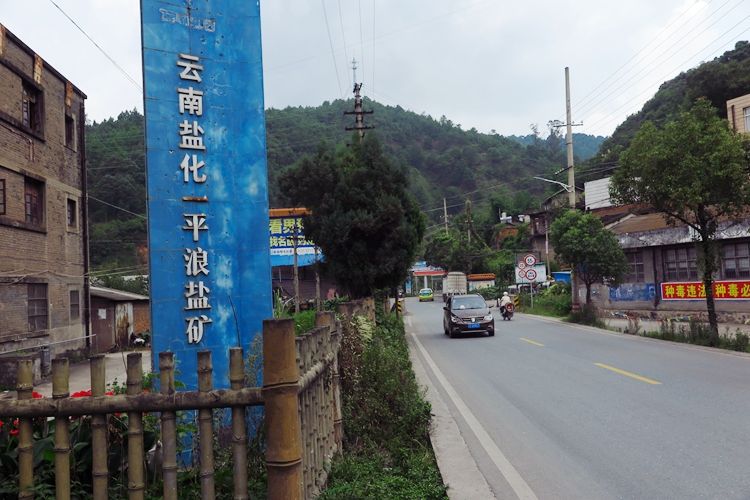
After passing through the river valley, you will arrive at Pinglang (平浪), which is a town. According to Professor Zeng’s (曾教授) records, there was no village here at that time, only a salt production facility built by the Yunnan Provincial Department of Finance. In fact, Heijing (黑井), located to the north of Lufeng (禄丰), has been a salt-producing area since ancient times, and it is known as one of the four great ancient towns of Yunnan and one of the nine salt wells of the Dali Kingdom (大理国).
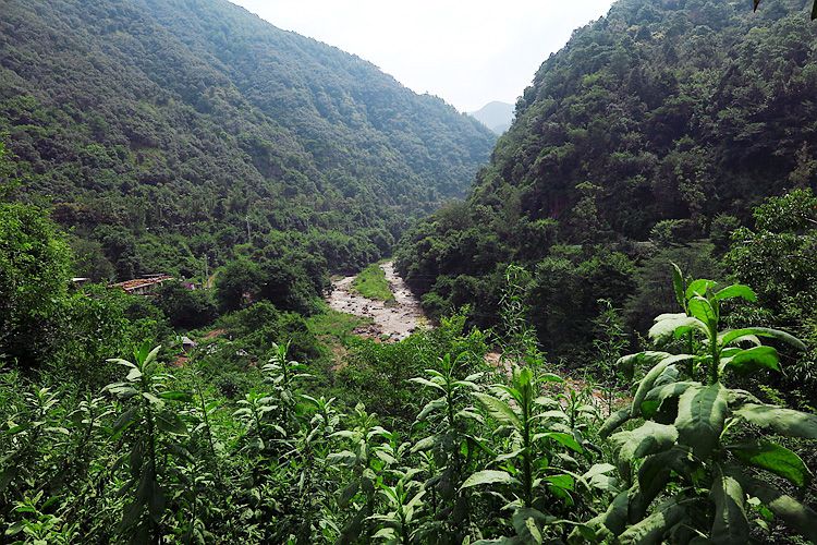
Continuing forward from Pinglang (一平浪), the road follows the river upstream. The river gradually narrows and eventually turns into a small stream. The scenery along this section is also very beautiful.
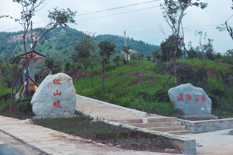
At 149.5 kilometers from Kunming (昆明), you will reach the mountaintop, called Jishanpo (极山坡). In Professor Zeng’s (曾教授) book, this place is called Jisanpo (极三坡) and is recorded as being 161 kilometers from Kunming. Another difference is that while Professor Zeng recorded the elevation as 2,140 meters, my GPS showed 1,950 meters.
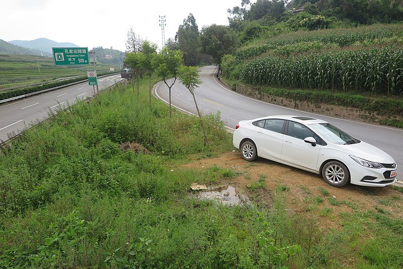
After reaching the mountaintop, the road begins to descend. About 10 kilometers later, you enter a basin(坝子). At this point, a highway appears next to the national road, and the sign on the highway reads “Kongjiazhuang Tunnel” (孔家庄隧道). The tunnel passes through the mountain that I just crossed.
In this basin (坝子), the first town is Cangling Town (苍岭镇). The road ahead is wide, somewhat resembling a highway, but there are many intersections and frequent pedestrian traffic, so drivers need to be extra cautious.
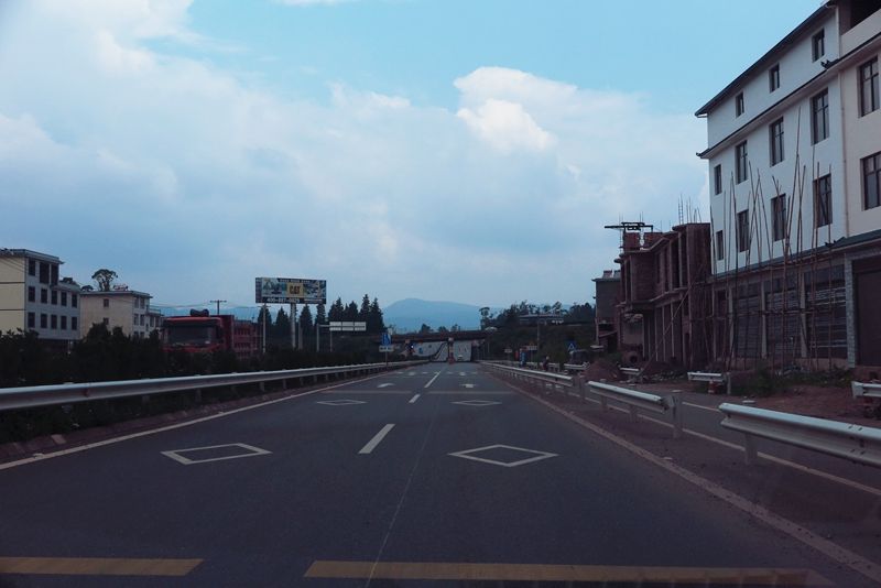
As you approach Chuxiong (楚雄), there is a newly constructed bypass on National Highway 320 (320国道). If you don’t plan to enter the city, you can take this road to pass through Chuxiong at the fastest speed.
The section of National Highway 320 (320国道) that enters the Chuxiong (楚雄) city center is the old national road. This part of the road is called Weichu Avenue (威楚大道) and runs along a river. On the north bank of the river is the new city area, which has many hotels. The Chuxiong Railway Station (楚雄火车站) is also located here, with trains connecting to Kunming (昆明) and Dali (大理).
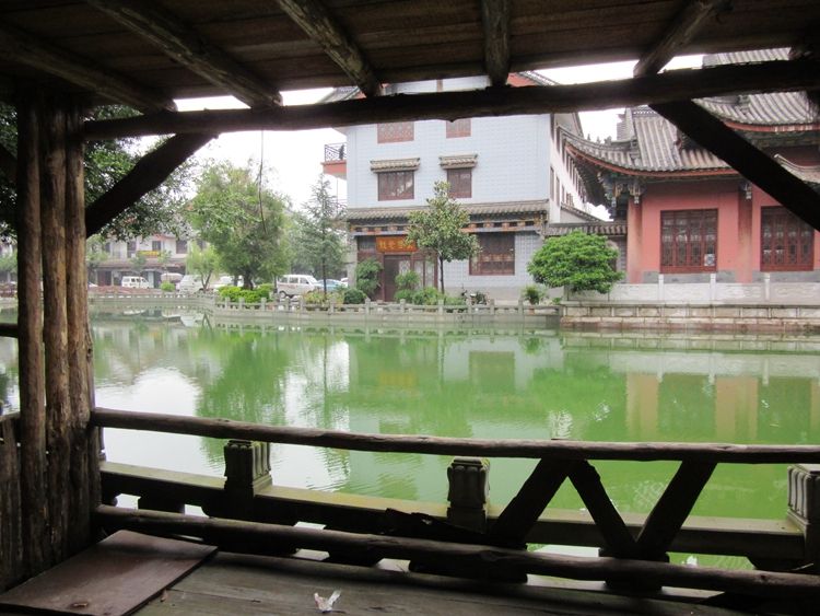
To the northwest of Chuxiong (楚雄) city center, at the western end of Yong’an Road (永安路), there is an ancient Yi (彝) ethnic town. The architecture is quite new, so it doesn’t have an ancient feel. Most of the buildings are restaurants, so it might be a good place to have a meal. The Yi people are a large ethnic group, with 8 million in China and another 1 million in Southeast Asia. From Chuxiong in Yunnan (云南) to Xichang in Sichuan (四川), it is all Yi homeland. During the Long March (长征), the Red Army passed through Sichuan, and in order to safely traverse their territory, Liu Bocheng (刘伯承) formed an alliance with the local Yi leader, Xiao Yedan (小叶丹).
On the south side of Weichu Avenue (威楚大道) is the center of Chuxiong (楚雄), or what could be called the old city center.
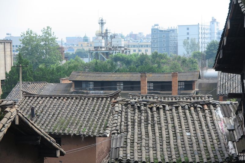
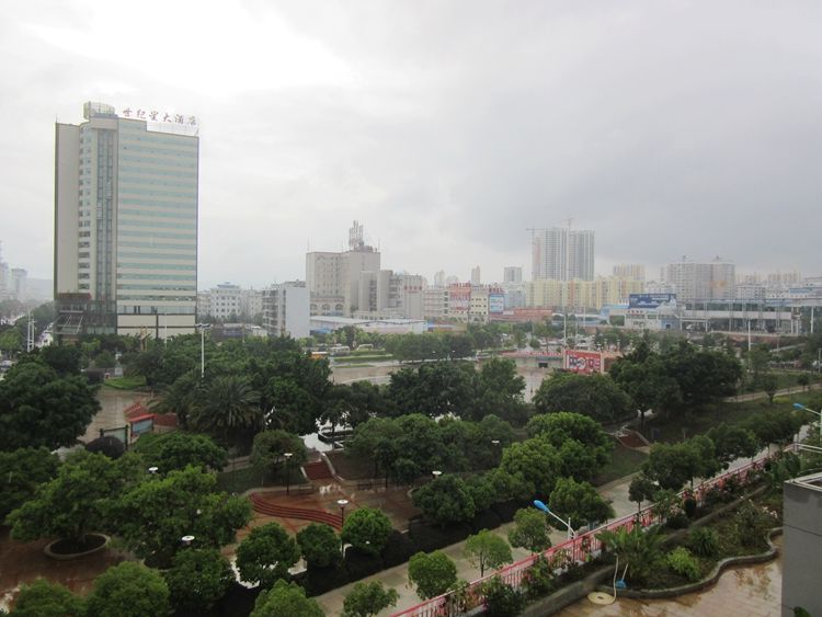
When Professor Zeng (曾教授) arrived in Chuxiong in 1941, it was a small town, about 1 kilometer square. The city walls were made of blue bricks, and at the intersection of the four main streets (east, west, south, and north) stood a Guanyin Pavilion (观音阁). The county government was located on West Street (西街), the middle school on South Street (南街), and the bus station on North Street (北街). When I visited Chuxiong in 2015, the city walls had long disappeared, and the old Chuxiong city was submerged under a sea of high-rise buildings. Only around Zhongda Street (中大街) did there remain some sense of history.
I entered the city center at 5:13 PM, having traveled a total of 180.1 kilometers from Kunming (昆明). According to Professor Zeng’s (曾教授) records, I did indeed find a bus station in the old city center.
I had a meal at a small restaurant across from the bus station, with two dishes and rice costing 45 yuan. Back in the day, Professor Zeng (曾教授) also ate at a small restaurant across from the bus station, where three people spent just 1 yuan and were full and drunk. Professor Zeng was quite moved by this, believing that Chuxiong (楚雄) was the cheapest place along the Yunnan-Myanmar Road (滇缅路).
Professor Zeng traveled along the Yunnan-Myanmar Road in 1941, when professors at the Southwest Associated University (西南联大) earned 400 yuan a month. Given the low prices in Chuxiong, it’s no surprise he was so impressed.
Chinese Version: 自驾车行走滇缅公路第一天:从昆明到楚雄
https://www.chexun.com/2024-05-02/114013067.html