Yunnan Tours




 View All Yunnan Tours
Most Popular Yunnan Tours
7 Days Yunnan Golf Tour
8 Days Yunnan Group Tour
8 Days Yunnan Speed Train Tour
7 Days Lijiang-Shangri La Tour
10 Days Yunnan Tour
6 Days Kunming Yuanyang Tour
12 Days Yunnan Tour
8 Days South Yunnan Tour
7 Days Yunnan Tea Tour
8 Days Yunnan Muslim Tour
12 Days Yunnan Self-Driving Tour
4 Days Haba Snow Mountain Climbing
Essential Yunnan Trips
Kunming-Dali-Lijiang Tours
Kunming-Dali-Lijiang-Shangri-La Tours
Kunming-Jianshui-Yuanyang Tours
Kunming-Puer-XishuangBanna Tours
Lijiang-Shangri-La Tours
Yunnan (China)-Indochina Tours
Yunnan (China)-Laos Tours
Yunnan-Tibet Tours
Yunnan-Vietnam Tours
Yunnan-Thailand Tours
Daocheng Yading Tours
Yunnan-Sichuan Tours
Find Yunnan Tours by Month
Find Yunnan Tours by Duration
Theme Tours


 View All Yunnan Theme Tours by Interest
Group Tours
2 Days Tiger Leaping Gorge Hiking Small Group Tour
4 Days Haba Snow Mountain Climbing Group Tour
8 Days Yunnan Small Group Tour to Kunming, Dali, Lijiang, Shangri-La
1 Day Kunming Stone Forest Group Tour
15 Days Yunnan-Tibet Small Group Tour with Mount Everest
6 Days Dali-Lijiang-Shangri-La Small Group Tour
8 Days Kunming-Dali-Lijiang-ShangriLa Group Tour (Chinese-Speaking)
6 Days Kunming-Jianshui-Yuanyang Hani Rice Terraces Group Tour
Yunnan Tours By Themes
China Self-driving Tours
Family Tours
Yunnan Muslim Tours
Yunnan Join Group Tours
Yunnan Hiking Tours
Tea Culture Tours
Yunnan Cycling Tours
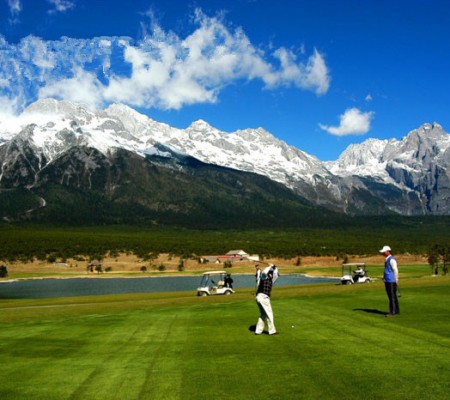
Yunnan Golf Tours
China Tours Including Yunnan
Ethnic Minority Tours
Daocheng Yading Tours
High Speed Train Tours
Three Parallel Rivers Tours
Minority Festival Tours
River Rafting Adventure Tours
Students Education Tours
Yunnan (China)-Laos Tours
Yunnan Birdwatching Tours
Yunnan Tibet Tours
Yunnan Coffee Tours
Chinese-speaking Group Tours
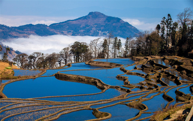
Yuanyang Rice Terraces Tours
Snow Mountain Climbing Tours
Yunnan Motorbike Tours
City Tours
All Tourist Destinations in Yunnan
Popular Yunnan Cities Tours


Prefecture-Level Cities Tours
City Tours By Top Tourist Destinations
Tiger Leaping Gorge
Haba Snow Mountain
Meili Snow Mountain
Three Parallel Rivers
Yuanyang Rice Terraces
Dongchuan Red Land
Yubeng Village
Jade Dragon Snow Mountain
Stone Forest
Dulongjiang
Puzhehei
Feilaisi
Tengchong
Jingmai
Jinghong
Niru Village
Lijiang Ancient Town
Shaxi Ancient Town
Baisha Ancient Town
Nuodeng Ancient Village
Baoshan Stone Town
Heshun Ancient Town
Lugu Lake
Chengjiang
Weishan County
Bingzhongluo
Mangshi
Ruili
Cangyuan County
Menghai County
Jianshui County
Luoping County
Destinations
All Tourist Destinations in Yunnan
Popular Yunnan Cities Tours
Prefecture-Level Cities Tours
Top Tourist Destinations in Yunnan
Tiger Leaping Gorge
Haba Snow Mountain
Meili Snow Mountain
Three Parallel Rivers
Yuanyang Rice Terraces
Dongchuan Red Land
Yubeng Village
Jade Dragon Snow Mountain
Stone Forest
Dulongjiang
Puzhehei
Feilaisi
Tengchong
Jingmai
Jinghong
Niru Village
Lijiang Ancient Town
Shaxi Ancient Town
Baisha Ancient Town
Nuodeng Ancient Village
Baoshan Stone Town
Heshun Ancient Town
Lugu Lake
Chengjiang
Weishan County
Bingzhongluo
Mangshi
Ruili
Cangyuan County
Menghai County
Jianshui County
Luoping County
Yunnan Guide
Yunnan Guide
Travel Tips
Tour Planing
Ethnic Culture
Yunnan Climate
Golf Courses
Travel Articles
Bars and Cafe
Best Companies in Yunnan
Yunnan Attractions
Chinese Zodiac
Government Departments
Yunnan Administrative Divisions
Yunnan Art
Yunnan Borders
Yunnan Climate
Yunnan Culture
Yunnan Demographics
Yunnan Economy
Yunnan Education Travel
Yunnan Eighteen Oddities
Yunnan Facts
Yunnan Geography
Yunnan Health
Yunnan History
Yunnan Maps
Yunnan Paleontology
Yunnan Religions
Yunnan Cuisine
Yunnan Drink
Yunnan Shopping
Yunnan Specialties
Yunnan Tourism
Lakes in Yunnan
Mountains in Yunnan
UNESCO World Heritage Sites in Yunnan
Yunnan Resources
Rivers in Yunnan
Yunnan Transportation
View All Yunnan Travel Guide


 Home